Categories
Travel

Ozark Trail Ride – Day 3

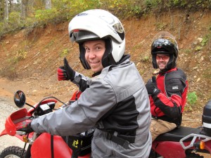
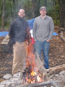
David and Scottie Sunday Morning

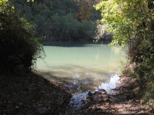
The next morning was, well there’s no other word for it, CHILLY. We built a roaring fire and tried to warm up enough for a last ride on the bikes before heading home. There were several trails near the campsite that we hadn’t explored, so we finally suited up and headed south on Johnson County Road 5861 from Highway 123, which was a beautiful ride right beside Big Piney Creek. Well, at least, until we came to the end of the road, which literally terminated by running directly into the creek. It wasn’t even clear if the road continued around the bend or not.

End of the Road

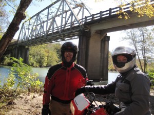
So, we turned around and headed back to Highway 123 and got some pics underneath the one-lane bridge we had stopped on the night before to look at the stars.

David and Scottie Under the One-Lane Bridge

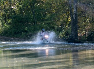
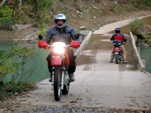
Still not ready to leave, we headed north on County Road 5861 (right beside the bridge), which turned out to be one of the best rides of the weekend. We quickly came to some higher ground with much better creek crossings than the road that ran south. David got soaked crossing the creek here, but it made for a fantastic picture.

David Crossing a Creek and Getting Soaked

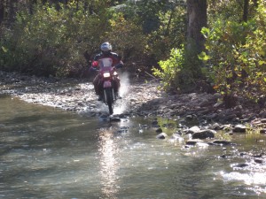
Scottie’s lighter bike made crossing these creeks look easy. Or maybe he’s just better at it…  🙂

Scottie Makes a Run at the Creek

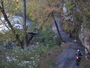
For several miles, the road just meanders beside Big Piney Creek, with high rock walls on one side, dripping waterfalls from time to time, and the full creek on the other side. It was gorgeous.

County Road 5861

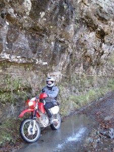
You could even ride underneath one of the waterfalls.

Scottie Under the Waterfall

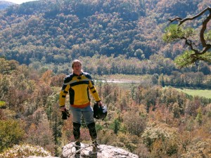
Eventually, we turned right and followed followed Forest Road 1202 up into the hills, which presented some beautiful views of Big Piney Creek as it slithered through the valley below.

truk

The weather was warmer and sunnier than any of the previous days, and we all would have loved to have been able to ride the rest of the day, but real life beckoned us back, out of the wilderness, away from the falling leaves, and into the cruel arms of responsibility and schedules.

OK, going home wasn’t that bad, but we all had a wonderful time, and we were already making plans to come back as soon as possible, even if the leaves were already gone.

Found this thread via search engine? See all of the photos of the trip, or review Day 1 or Day 2.

Categories
Travel

Ozark Trail Ride – Day 2

Haw Creek Falls at Sunrise

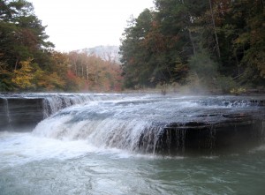
Haw Creek Falls is a beautiful place to wake up in the fall, with leaves turning colors seemingly before your eyes and misting water cascading over rocks providing a gentle roar all night long. Several large creeks surround the campground, but there are only a few that line the side of the creek, so get there early in the day to claim those.

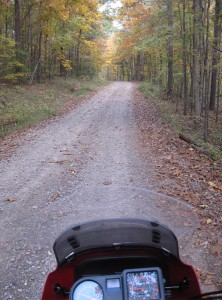
Sun began peeking through the clouds early in the morning, promising warmer temperatures, but most of the day remained colder than the day before. As we breached hilltops and could survey the entire sky, fast-moving dark clouds threatened rain but never carried through. Hoping for lunch in a diner, we headed west toward Oark, down little forest roads that looked like this.
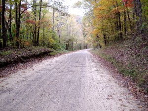
Cool, Beautiful Morning

I was glad to have left the liner in my jacket that morning. It was still pretty cool when we stopped to take this picture.
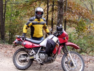
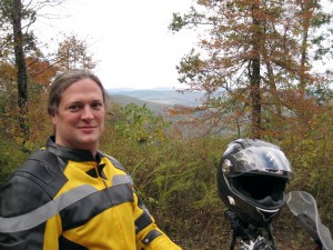
truk and His KLR 650

Forest road 1003 snakes along Mulberry Creek from Highway 21, providing a gorgeous trail through falling leaves and great views down toward the rushing water. I started to not even notice the cold, and before I knew it, we were emerging onto blacktop just outside of Catalpa, almost to Oark on Highway 215.
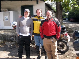
Scottie, truk, and David at Oark Cafe

The Oark Cafe is a interesting place, certainly one with a vibe it has maintained for over 100 years. For camper vans and sports cars (or anything else that doesn’t really want to get its tires dusty), it has an end-of-the-world feel about it. If you were drive by it heading east, the asphalt would soon give out and you would begin wondering if you should have purchased gas when you had the chance. More than a commercial oasis surrounded by beautiful farms and hills rising to wilderness, the Oark Cafe retains the charm of a one-room restaurant and grocery from years past, complete with some of the friendliest proprietors I’ve ever met.
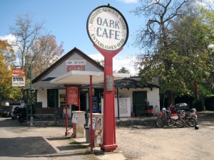
Oark Cafe

After having lunch at the Oark Cafe (you have to try the hamburger with onion rings when you visit), we headed north and left the pavement behind again, heading into some hidden valleys, taking every chance we got to turn upon a smaller and smaller road. You can find some funny little private bridges in these parts, too.
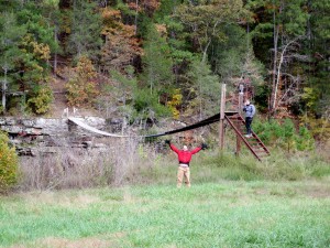
David and Scottie at the Footbridge

Little streams trickle through the forest all over this area, especially after the weeks of on-again-off-again rain that we’ve had this year. Sometimes, you weren’t sure if you should keep the dual-sport motorcycle on the road or turn off and follow one of these streams to see where it came out.
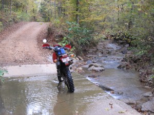
Which Way?

There isn’t an abundance of signage in this area, but I was grateful for the foresight of the last major stimulus package to be spent in the area, during the 1930s and 40s, when the national forest roads were built. I think it would be hard to argue they weren’t a good investment, considering that the many county and farm roads that run off of them provide almost all of the vehicle access to this rather large area.
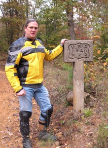
truk with WPA Sign

As the day continued, we took smaller and smaller trails, many times ending up in at someone’s backwoods cabin with no way to continue or emerging in a clearing with a cluster of camo-wearing bow hunters all clutching their beers. Everyone was friendly, though, and helped give advice to get us back to a bigger trail. I picked up a few off-road symbols that provided some lessons:

1) Never go down a road with a mailbox at the end of it, unless you want to turn around and come back out the same way. The mailbox is there because the mail person can’t make it down that road and come out somewhere else.

2) If you start seeing trucks with trailers attached behind them parked along a trail, it is about to get rougher.

3) If you start seeing trucks with no trailers parked beside the trail, it is about start getting really rough and the trail will narrow.

4) The Gazetteer will be wrong about the name of a forest trail or where it comes out about half the time. Deal with it.

5) You can’t trust any signs in the woods, so if you get lost, find a person to ask rather than relying on signage.

A lot of the roads that afternoon looked like this.
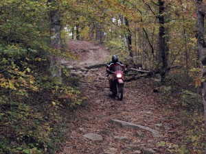
Getting Dark

We ended up coming out of the woods near Deer, a small town 10 miles or so north of our campsite but more than 25 miles away by pavement. We were looking for a place to buy steaks to take back and cook at the camp, but the only thing open was a diner, so with the light fading fast, we enjoyed some catfish and warmed ourselves next to a small gas fireplace, listening to a recap of the tragic Arkansas-Florida football game earlier that day (#1 Florida won by a field goal after scrappy Arkansas missed 2 field goals and the officials blew 2 big calls that went against Arkansas and probably cost them the game).

Leaving the diner in Deer in nearly complete darkness, there was some debate about whether to head back via a more direct route over forest trails or take the sure-thing route via the paved roads. After not being able to find the trail head in the dark, we elected to take the more paved roads. By this time, the temperature was down to about 40, and the wind was icy while at speed. We finally made it back to camp, after pausing on the little one-lane bridge near Haw Creek Falls to take in the canvas of stars in near-total darkness.

Later, as we took the same forest trails the next day that we would have taken back that night, we realized that we would have never been able to find our way back on those trails and would have likely spent the night out in the woods, if we had found the trail head.

Continue reading this thread with Day 3 here.

Just joining us? Check out Day 1 here or review all of the photos from the trip.
Categories
Travel

Ozark Trail Ride – Day 1

David and Scottie Preparing to Leave

I knew when we turned on to Highway 123 off of 7 that the riding was going to be amazing. Having never spent much time in the southern Ozark Mountains, about 80 miles east-northeast of Little Rock, I didn’t really know what to expect. Surely there would be trees, some hilltop views, and some twisty road riding, but it was a mystery just what else we would find.

Boy, was I in for a treat…

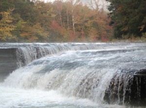
Haw Creek Falls at Dawn

We selected to camp in the Haw Creek Falls campground upon setting out from Scottie’s place. This beautiful spot, just off of Highway 123, doesn’t provide drinking water, but the camp sites are few, clean, and located right next to the falls and a lovely rushing stream, meaning we fell asleep to the sound of rushing water and woke up to a misting waterfall with autumn red and yellow colors in the background on the surrounding hills. Haw Creek Falls offers some wonderful hiking and is a great location to use as a base for float trips in the area (click here for a pretty good free map), but all we could think about when we arrived was getting the bikes off and hitting the trail.

truk on the Trail

We immediately headed down 123 and found a forest service road (1003) off to the right that took us northeast, into the Ozark National Forest. There are county roads, farm roads, and forest service roads throughout this area, as well as ATV trails, some of which connect to one another and others that just simply end up at some wide spot in the woods. We went down both extensively over all three days, sometimes poking out on a major highway, and other times running into a dead-end at someone’s hunting cabin and needing to turn around.

Scottie and David on the Trail

Everywhere we went, there were little streams to cross, ledges to peer over, and straightaways to zoom down. Occasionally, we would run into someone on an ATV, usually carrying a bow (it was bow hunting season), who would occasionally stop for a chat. But, most of the time, we saw no one. It felt like having this section of the Earth to yourself, where some giant painter had dripped color that changed shades as the sun skimmed across the horizon.

Forest Road

The best ride of the day was an accident. Click on this link to see a satellite photo of the area. We crossed this little bridge over Big Piney Creek, and Scottie decided to take a little road up the hill to the left, which is marked on the map as City Road 311 (but the last way I would describe this is as a “city road”). This little windy road took us up above the creek for miles, up and down the little hillsides in the area, but always keeping the rushing creek, thanks to all the recent rain, just to our left. It felt like finding a tiny little gem that no one else knew about. We saw no other human beings or activity for an hour, just falling leaves, a well-maintained dirt road, and the sounds of water rushing over rocks. Perfect.

Scottie and David at the Big Piney Bridge

We only rode for three hours the first day, but it was just enough, and we returned to camp to feast on some chili pie and homemade brownies. It got a little cooler that we would have liked, but we had a big fire, plenty of beer, and even a nip of scotch. And a full day of riding awaited us the next day.

Scottie and David

Read on to Day 2 of the ride, or check out all of the photos from the trip here.

Categories
Travel

Home Safe from the Ozark Ride

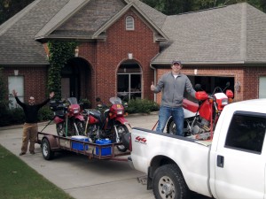
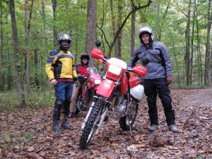
truk, David, and Scottie Before Setting Out

I just got home from a fantastic motorcycle ride this weekend through the Ozark National Forest.

Scottie, David, and I made the most of our time, riding Friday afternoon, all day on Saturday, and then a good part of Sunday.

We climbed up and down rocky ravines, zoomed down gravel forest roads with yellow and red leaves falling around us, and went places that the confused both our Gazetteer and the GPS.

I’ll post some more text on this trip, when I get a few free moments, but you can already see some of the pictures here.