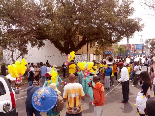
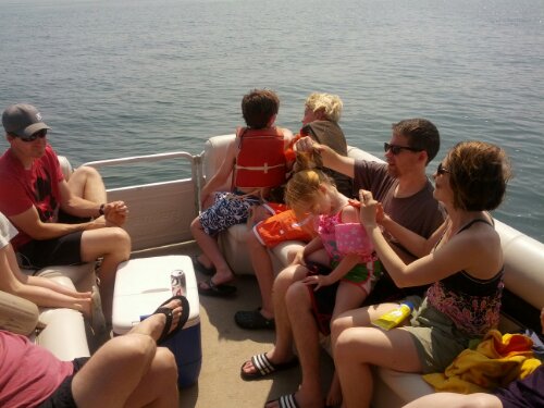
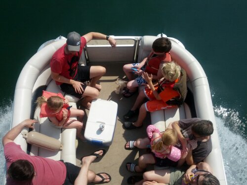
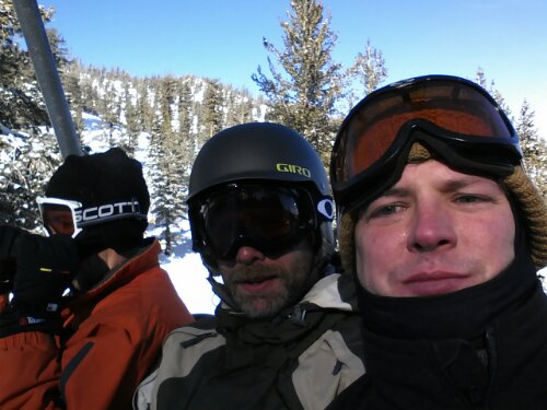
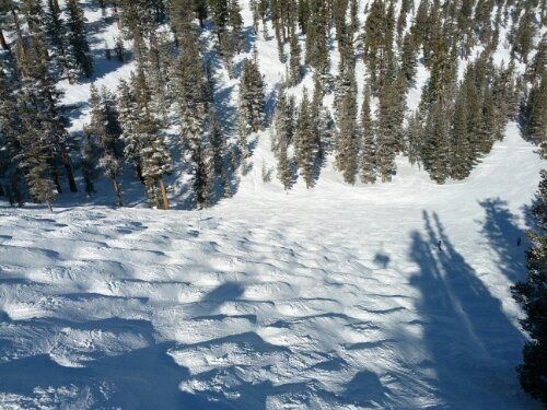
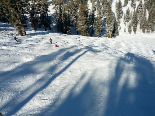
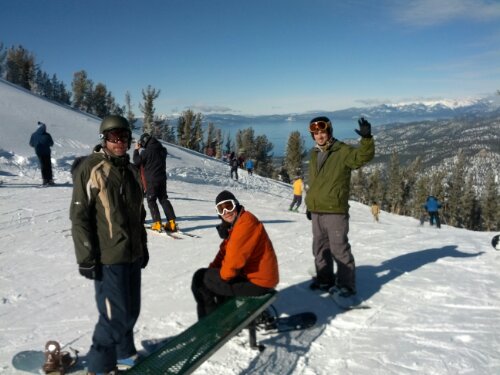
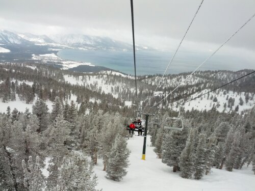
So much fun! Why don’t we have these in Memphis?
Category: General
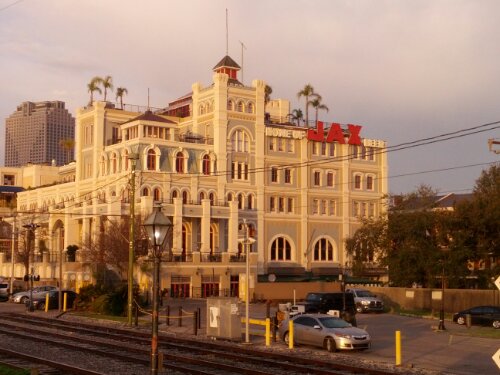
Sunrise in New Orleans
I’ve been playing around with a project called 1 Second Everyday, and this is a movie all all of my seconds from August to December 2013. (I started when the Android version of the app came out that shoots the video and continued through the end of year.)
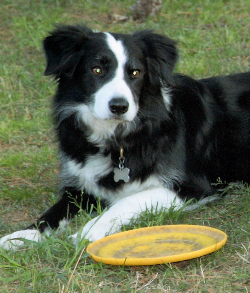
Goodbye, Jake
Today, we had to be put Jake to sleep. We were privileged to take care of him for over 16 years.
Jake was unquestioningly loyal and protective.
A wizard with the frisbee, as a young dog, he could leap over 5 feet in the air and run faster than we could throw it.
Jake was a healthy dog, up until his final year. Even when ailing, though, he always lived up to being our best friend.
We’ll miss him.
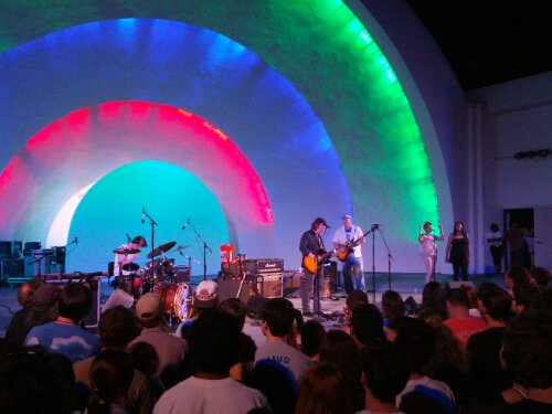
North Mississippi All-Stars at the Shell
Zartez Graduates from Kindergarten
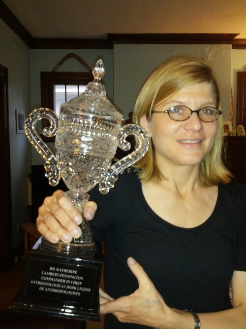
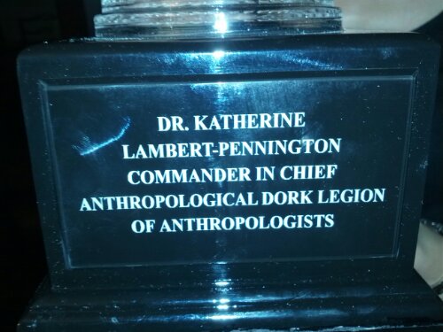
Dork Legion of Anthropologists
Nephews Birthday Party!
I’ve got a pretty awesome partner/wife/spouse/best friend, but sometimes it takes reading one of her articles to realize all that she does and how deeply she thinks.
To that end, take a few minutes and catch up with the recently published Engaged Pedagogy and Neighborhood Change in South Memphis by Katherine Lambert-Pennington.
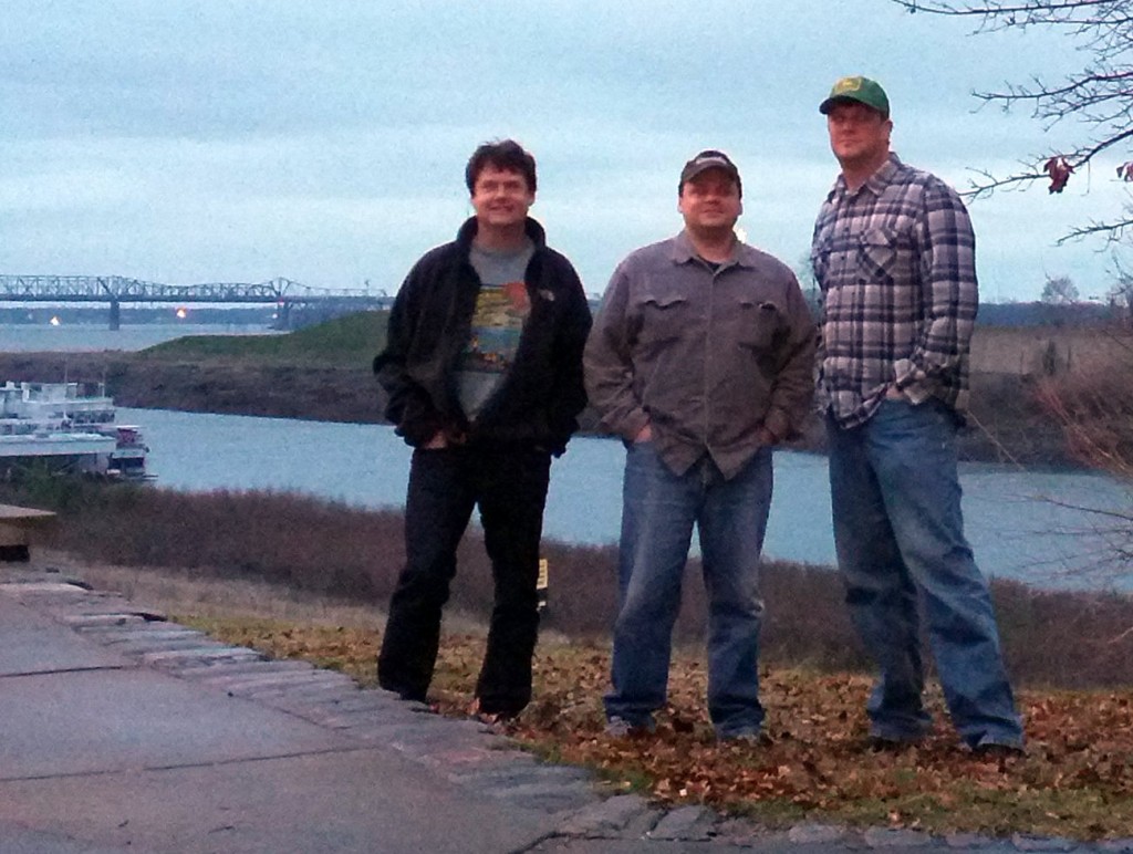
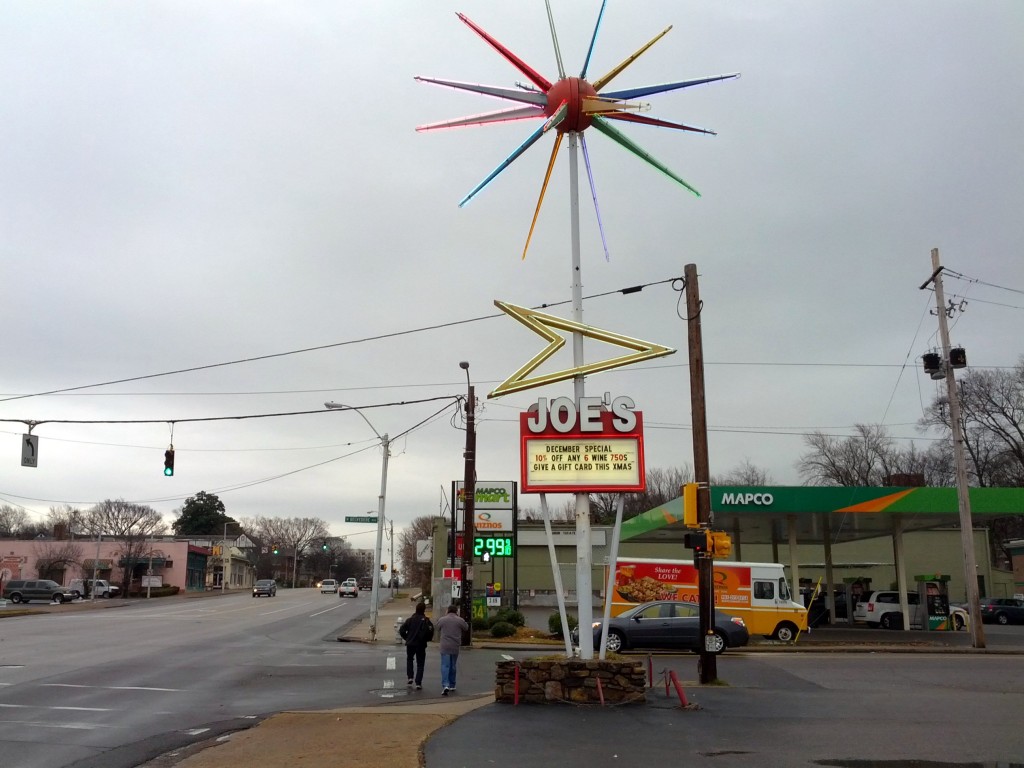
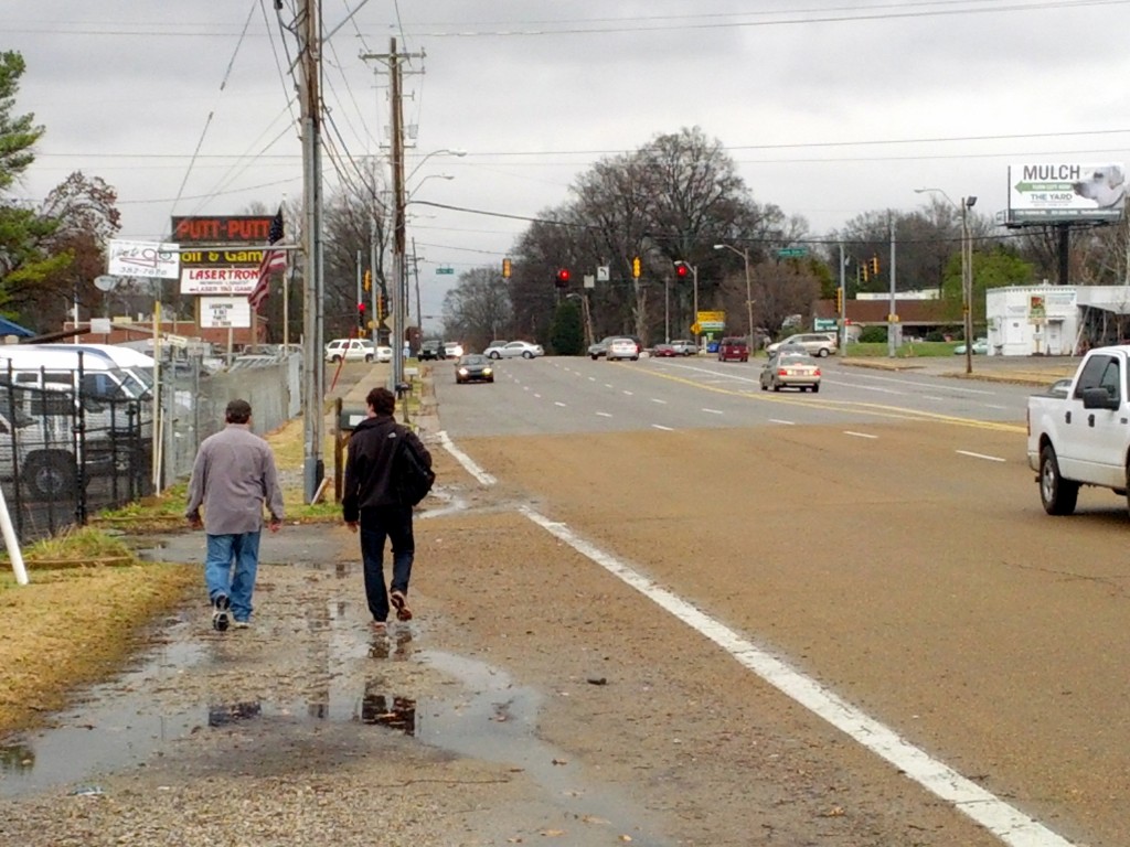
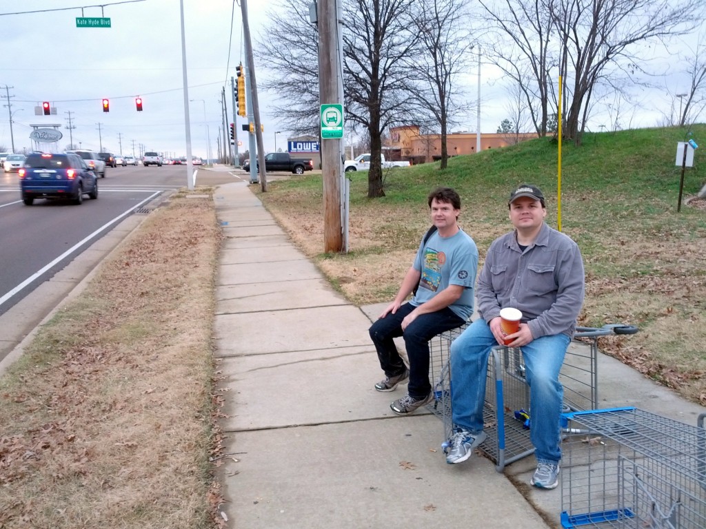
Robert Bell, Richie Trenthem, and I completed our 6th Annual Memphis Walk on December 15th, 2012. As in previous years (2007, 2008, 2009, 2010, 2011), we met at the cobblestones of the Mississippi River in downtown Memphis at sunrise and started walking in a general direction. This year, we kept an almost due-east track, ending up at Wolfchase Galleria and catching a bus for the trip back downtown.
It is getting a little harder to find an original route when we head east, and we tried to stay on different streets from previous walks while trying to take in a new perspective when traveling over streets we often see while driving.
Some highlights:
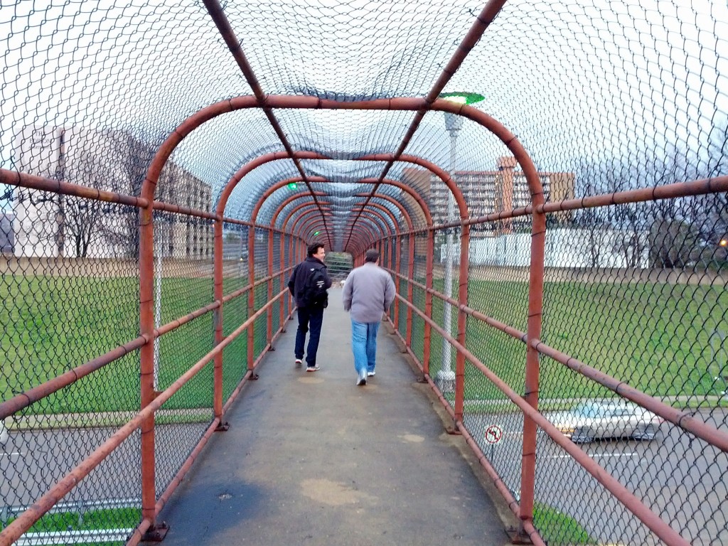
- While crossing Danny Thomas near Jefferson, we used a pedestrian crosswalk that was open on one end but barricaded and locked on the other end. We were able to get over the barricade and make it through, but it wasn’t clear why it was closed off in the first place or why there wasn’t a sign warning pedestrians not to try to use that bridge.
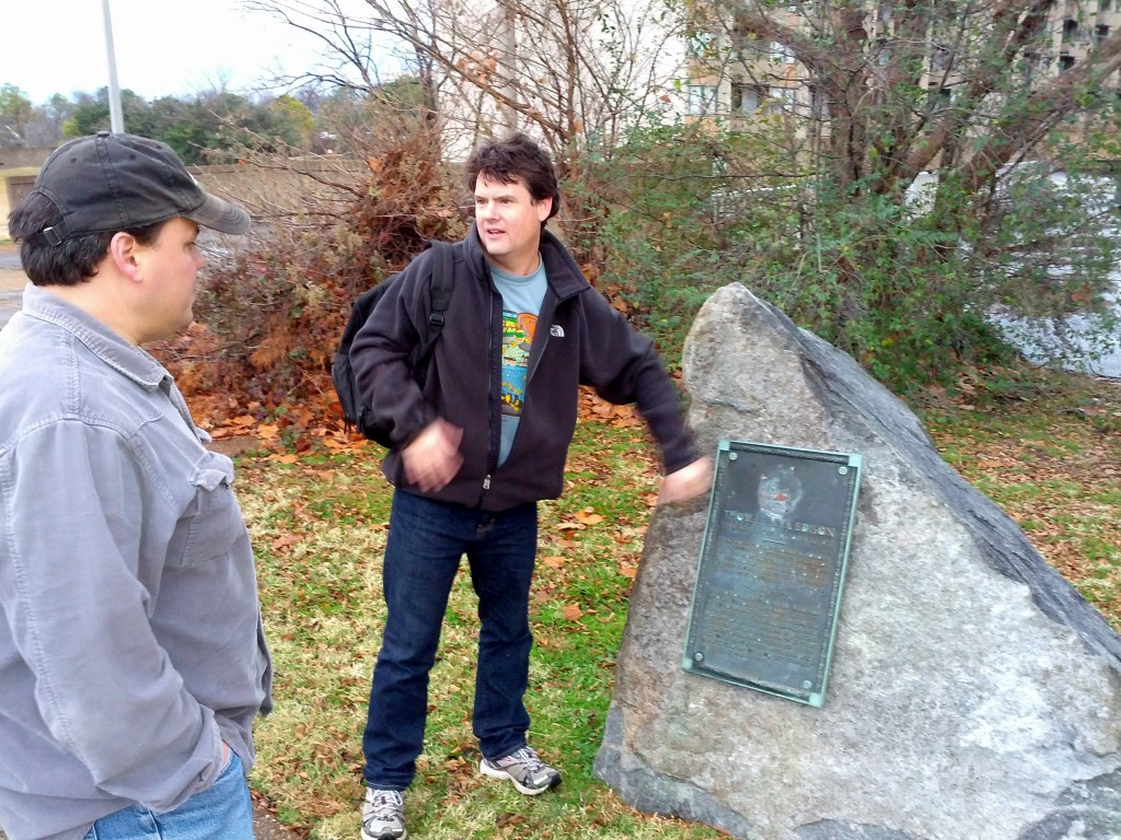
- We discovered the stone marker for Edison Park, a city park that was decades ago essentially taken over by the Edison Park Apartments, near Danny Thomas and Jefferson. I never realized that there was originally a park dedicated to Thomas Edison there, due to the fact that he lived in Memphis in 1865-1866 as a telegraph operator. Nothing really remains of the park today, except for the marker, because it was turned into a parking garage for the nearby apartments.
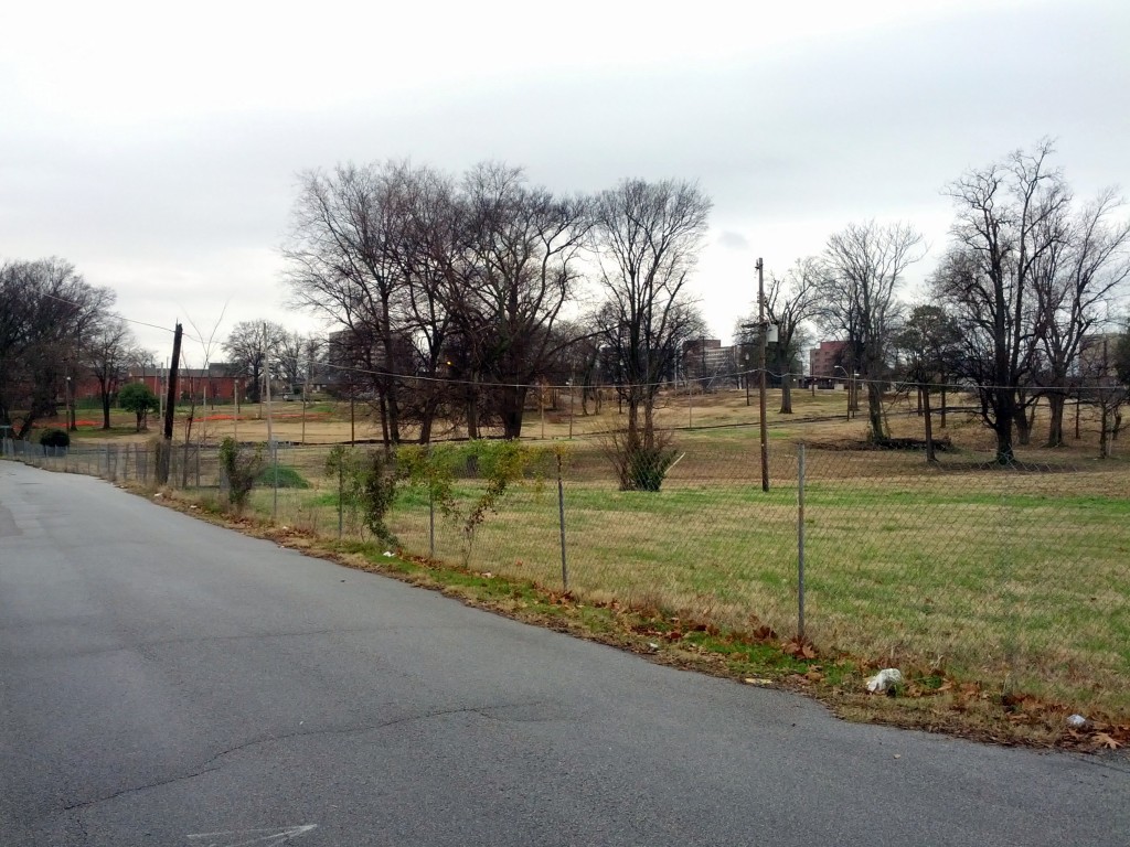
- We walked through the area south of Poplar Ave., near Cleveland St., that was demolished to make way for a shopping center development, featuring a Target, that never happened, probably use to the Great Recession of 2008. The area is marked off with fencing that is full of holes and seems ready for a grand building project, like the Mall of Memphis area. Instead of heavy construction, it has the feel of a park the public isn’t allowed to enter, a pleasant, empty area, with trees and grass, bisected by city streets, covering 4 or 5 blocks.
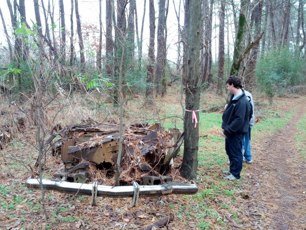
- We walked the northwestern regions of Shelby Farms park, finding a pleasant lake behind trees, hidden from the I-240 and I-40 interchange. The entire area is crossed by bicycle trails, but we didn’t see anyone else, as we walked from the Greenline through the woods to Summer Ave.
The total mileage on the walk was 20 miles, but despite some on-and-on rain, the weather was warm and pleasant, especially for December. I’m already looking forward to next year’s walk.
View all photos of the 2012 Memphis Walk here.
While I was listening to Italian language lessons before going to Sicily in July, I found myself wondering about the number 17, or in Italian, diciassette. Specifically, I was curious why, at 17, the structure of how you say the number flips, where you say the 10 part first, and then you say the number part. For 11 to 16, you say the 10 part (dieci) and then the number added to ten to make the number you are trying to convey. So, undici for 11; literally, one (uno) + ten (dieci). Then, dodici for 12 (due + dieci). Followed by tredici for 13 (tre + dieci). When you get to 17, you flip it, so that you say the 10 part first, and then the 7.
Why is this interesting? Well, languages similar to Italian do it earlier in the series of numbers, or at least they do it in a different place. Spanish, which is closely related to Italian, makes this change at 16, not 17. French makes the change at 17, the same as Italian, but English, we do it at 13. Portuguese changes at 16, but this could be because of its close proximity to Spanish. Dutch and German, each closely related to English, also makes their changes at 13. None of this seems to affect the major Eastern European languages, like Polish, Czech, and Russian, who simply start at 11 to say the first digit and then the ten’s digit. Perhaps most interesting is that Latin, the parent language to Italian, French, and Spanish, makes the change at 18, going from sedecim (16) to septendecim (17) to duodeviginti (18) to undeviginti (19).
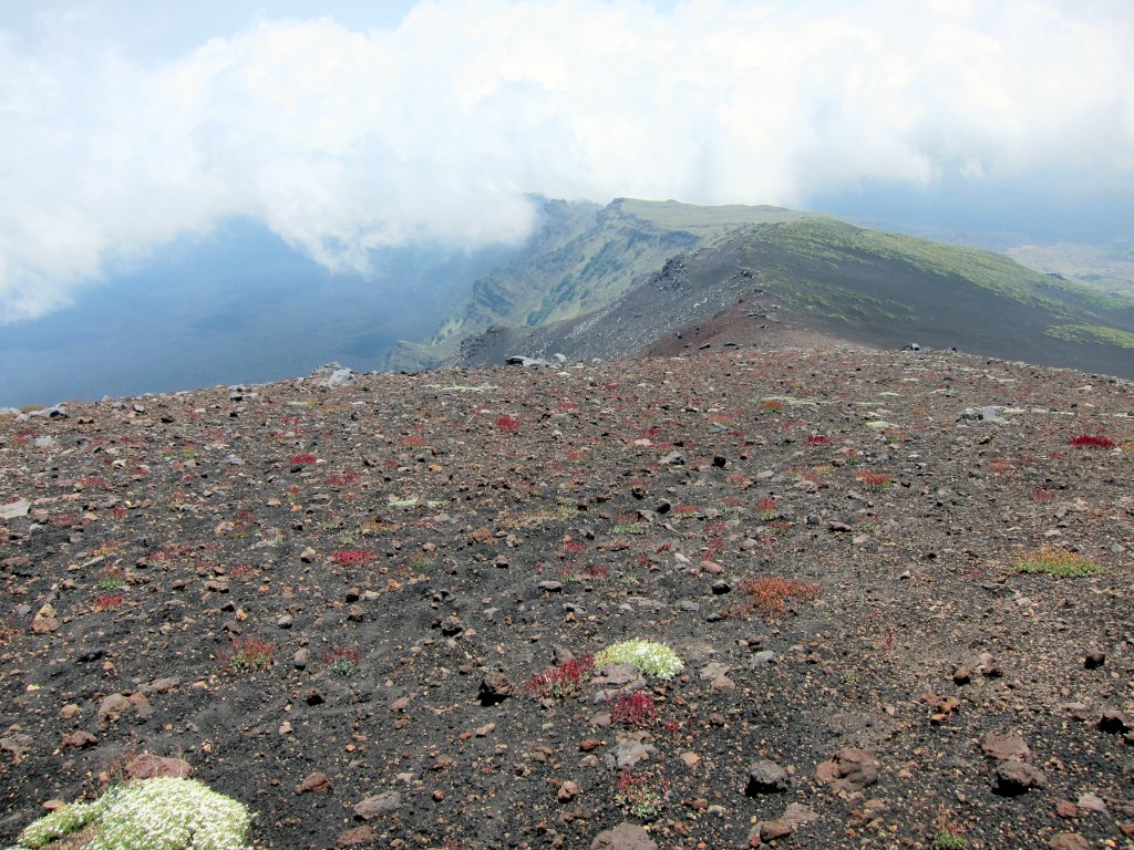
Anyway, this topic was still going through my mind while I made my way down Mount Etna, passing this scene at top of the Valle de Bove among the wispy clouds at about 8,500 feet, far away from any other people, hoping my feet didn’t slip or the hillside didn’t give way and kill me with a 1,500 foot tumble down into the valley floor below. I stopped to snap this shot right when I started to notice living things appearing among the volcanic stones. After such a bleak landscape for several hours, any color was a real treat.
Other pictures from our July 2012 Sicily trip are available here.
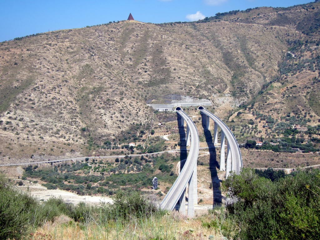
On the north coast of Sicily, just to the east of Cefalu near Tusa, we stopped by the ruins of Halaesa, which are perched on a prominent hill above the Tusa River and this beautiful example of the Italian interstate road system, which they call the autostrada. Between Messina and Palermo, the autostrada plunged into hills like a needle and thread through cloth. Tunnels run into the multiple kilometers, and the whole thing seems relatively space-age and strikingly beautiful. Due to the higher cost of construction, this stretch of Sicilian autostrada is a toll road, but it was cheaper than other similar autostrada we took in northern Italy in 2009.
More photos from our July 2012 trip to Sicily are available here.
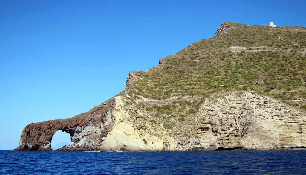
This is a massive sea arch near Pollara on the island of Salina, off the north coast of Sicily. By luck, if you squint, you can see the island of Stromboli through the arch. Laura and family took us out on their boat for a circumnavigation of Salina, and this point is on the far side of the island, opposite of Santa Marina, where the ferry docks and where we spent most of our time.
This picture was taken from the water, floating above an ancient, collapsed caldera. Salina has two old volcanos on it, and this was a third. As you can see, it is a very beautiful place. Many thanks to Laura for making it possible for us to see it.
More photos from our July trip to Sicily and Salina are available here.
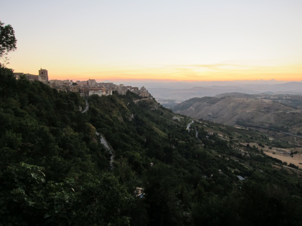
This is one of my favorite photos from the Sicily trip. In it, you can see the northern section of the central Sicilian town of Enna in the foreground, with rolling hills and a sunset, dreamy and faded in the western sky.
We ended up in Enna by accident. We couldn’t decide where to stay when heading toward Syracusa from the western side of the island, and Enna opened up a possibility because there was a hostel there with an opening and a pretty cheap rate for a quick overnight stay. A week before we were set to arrive, however, the booking agency emailed to let us know the hostel was overbooked, so they moved our reservation to the much fancier Hotel Sicilia Enna and paid the difference.
Thus began a fortuitous evening where we arrived at the Castello di Lombardia just at sunset and were able to enjoy scenes like the photo above, ate dinner in a tiny little traditional restaurant (Grotta Assurra) run by a cute and caring elderly couple (he cooked and she took our order – there were only 5 or so tables in the whole place, and only 2 were occupied), and observed modern teenage life on a Friday evening, when kids come from surrounding towns to hang out in the same square, giggle at one another, and stare at little screens in the dark.
It is worth noting that, historically speaking, Enna could be considered a metaphor for all of Sicily, in that it is old and has been conquered a lot. People have lived on the 2800 foot high, mostly sheer, hill since at least the 14th century BC. Occupying such a prominent position over the surrounding countryside, while only being a day’s journey from each of the 3 major coasts, made Enna a popular target, and it was captured by the Sicani, then the Siculi, then the Greeks, then the Carthaginians, then the Romans, then by the Byzantines, Islamic forces, Normans, and on and on. Many of the captures involved treachery rather than military might, and the town has been known by other names, such a Henna and Castrogiovanni, at least until Mussolini gave it the current name.
More photos of our July 2012 trip to Sicily are available here.
